Modern agriculture requires modern tools. Our drone systems help you assess crop health, track growth stages, and manage fields with extreme precision.


Real-time data collection

AI-powered insights
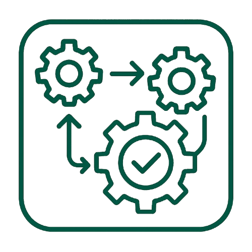
Automated workflow
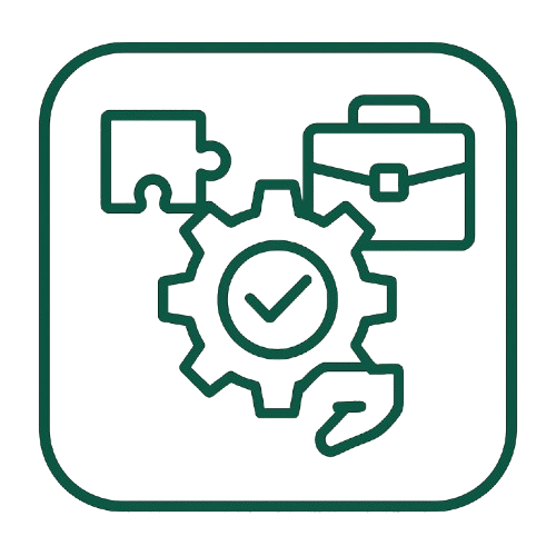
Tailored specifically to fit your industry


Contact us