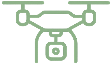
We provide regular aerial reports to track crop development across growth stages, helping you make precise decisions about irrigation, fertilization, and harvesting.
We use multispectral cameras to assess plant conditions and detect weak or affected areas before the problem escalates.
Through aerial analysis, we can detect indicators of pest infestations or nutrient deficiencies, giving you time to take quick action and reduce losses.
We create 3D maps that highlight topographic differences in the land and areas of dense or weak growth, enabling better farm planning.
Cover farms spanning hundreds of acres in record time, without the need for continuous on-ground monitoring.
We help you optimally distribute resources according to the needs of each area within the field, based on precise aerial data.

We provide high-resolution aerial imaging using drones capable of capturing the finest details in the field, enabling detection of subtle changes and precise monitoring of crop growth.
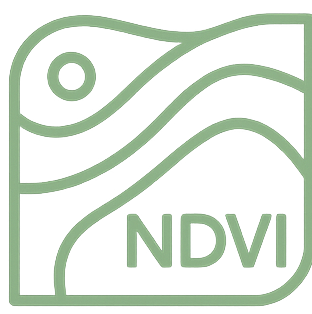
We rely on advanced algorithms to analyze aerial data and identify areas that need intervention, such as irrigation issues, pests, or weak growth, enabling smart and early decision-making.
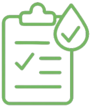
By customizing irrigation and fertilization based on the actual needs of each area, we help you reduce costs and minimize waste, leading to increased field productivity and improved returns.