
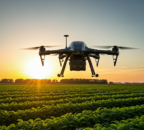

Growth Stage Monitoring
We provide regular aerial reports to monitor crop development throughout its growth stages, helping you make informed decisions regarding irrigation, fertilization, and harvesting.

Crop Health Analysis
We use multispectral cameras to assess plant health and identify stressed, weak, or affected areas before problems escalate, enabling timely and effective intervention.

Early Pest Detection
Through aerial analysis, we can identify early signs of pest infestations and nutrient deficiencies, giving you the time to take swift action and minimize potential losses.

Precision Agricultural Mapping (NDVI & DSM)
We create detailed 3D maps that reveal topographical variations across your land, as well as areas of strong and weak crop growth, enabling more effective farm planning and management.

Large-Scale Field Management
Cover hundreds of acres in record time without the need for continuous on-site monitoring.

Smart Irrigation and Fertilization Planning
We help you optimize the distribution of water, fertilizers, and other resources based on the specific needs of each area within the field, using precise aerial data and insights.
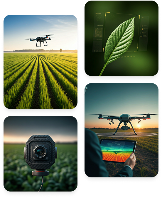

Centimeter-Level Imaging Accuracy
We provide high-resolution aerial imaging using advanced drones capable of capturing the finest details across your fields. This enables the detection of subtle changes, continuous crop monitoring, and highly accurate assessment of crop growth and field conditions.
AI-Powered AnalyticsAI-Powered Analytics
We leverage advanced analytics and AI-powered algorithms to process aerial data and identify areas that require attention, such as irrigation issues, pest infestations, or poor crop growth. This enables smarter, faster, and more proactive decision-making.
Reduce Waste & Increase Yield
By tailoring irrigation and fertilization strategies to the specific needs of each area within the field, we help reduce costs, minimize waste, and optimize resource utilization. The result is higher crop productivity, improved efficiency, and greater returns on your agricultural investment.