
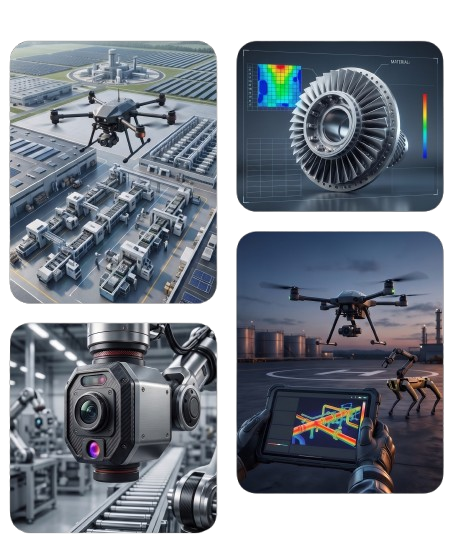
Infrastructure Inspection
We provide regular aerial inspections of steel structures, pipelines, communication towers, and buildings, helping you identify cracks, corrosion, and potential damage before they develop into more serious issues.
Open Yard Inventory Management
We provide fast and accurate inventory counting and monitoring for open yards and large warehouses, helping you save the time and effort traditionally spent on manual inventory audits.
Environmental Assessment
We help you monitor compliance with environmental standards by identifying potential leaks, contamination risks, and environmental hazards across industrial sites. This supports regulatory compliance, enhances your corporate reputation, and helps prevent costly violations and penalties.
3D Mapping & Volume Measurement
We create highly accurate maps of industrial sites, quarries, and excavation areas, while precisely measuring stockpile volumes of raw materials such as sand, gravel, and minerals. This provides reliable data for better planning, inventory management, and operational efficiency.
Thermal Monitoring
Using advanced thermal imaging cameras, we can detect abnormal temperature increases in equipment, motors, and electrical wiring before they lead to failures. This helps prevent unexpected breakdowns, reduces fire risks, and supports safer, more reliable industrial operations.

Centimeter-Level Imaging Accuracy
We provide high-resolution aerial imaging using advanced drones capable of capturing the finest details across your fields. This enables the detection of subtle changes, continuous crop monitoring, and highly accurate assessment of crop growth and field conditions.
AI-Powered Analytics
We leverage advanced analytics and AI-powered algorithms to process aerial data and identify areas that require attention, such as irrigation issues, pest infestations, and poor crop growth. This enables smarter, faster, and more proactive decision-making.
Reduce Waste & Increase Yield
By tailoring irrigation and fertilization strategies to the specific needs of each area within the field, we help reduce costs, minimize waste, and optimize resource utilization. The result is higher crop productivity, improved efficiency, and greater returns on your agricultural investment.